MOBILE LiDAR MAPPING
BPC India is one of the pioneering Mobile LiDAR Survey Mapping companies in India with 17 years of Experience. Our company aims to provide seamless LiDAR Mapping solutions in challenging scenarios.
BPC India is one of the pioneering Mobile LiDAR Survey Mapping companies in India with 17 years of Experience. Our company aims to provide seamless LiDAR Mapping solutions in challenging scenarios.
Feasibility Study of NH Standard Roads
Slope Stability Analysis (70km Span)
Final Location Survey of New BG Line.
Urban Development Projects
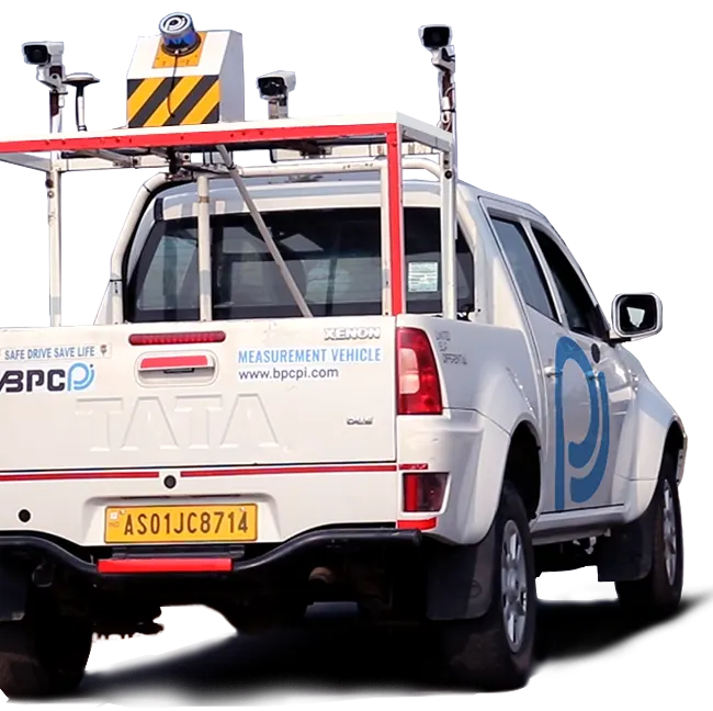
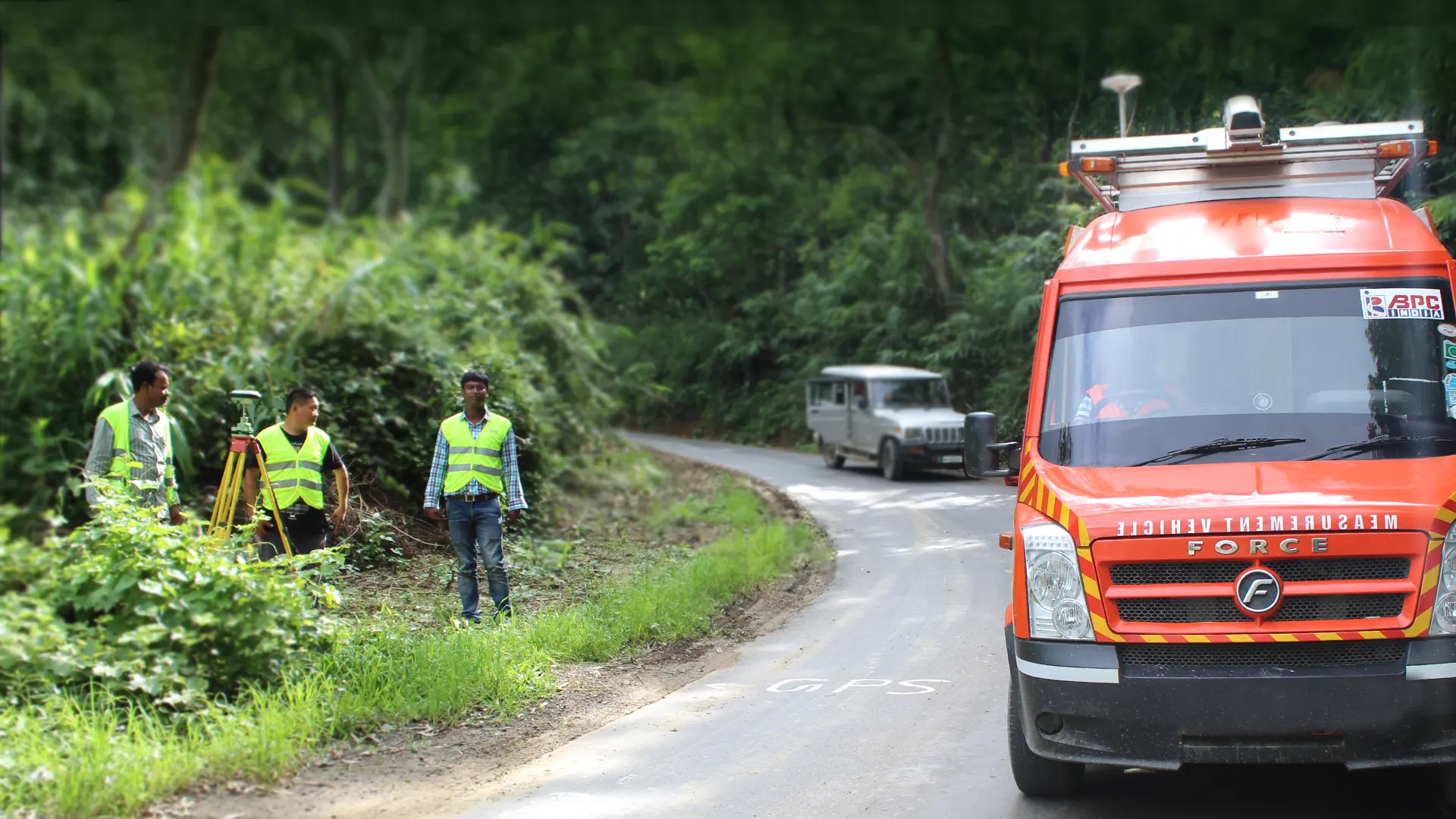
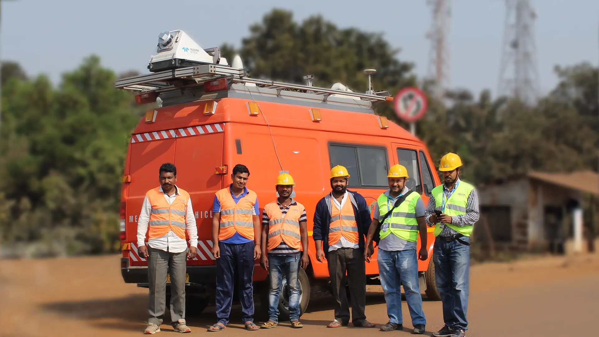
We have successfully completed more than 1000 chainage Kms of highway surveys throughout India using 3D Mobile LiDAR & NSV.
We deploy advanced GNSS receivers, laser systems, DMI, IMU, and AI software to ensure proper planning and accuracy for satisfying the engineering requirements with perfection. Not only ensuring top-notch accuracy in surveying for engineering projects, but our system also assures cost-effectiveness in the market.
Making the overall process cost-effective helps the Infrastructure engineering companies to lower down the project cost. Some of the highlighting features of our mobile LiDAR system have been discussed below.

LiDAR or Light Detection and Ranging is a well-recognized technology for collecting and processing terrain data. The system assures cost-effective terrain data collection.
At the same time, it has been regarded as highly accurate. BPC India offers mobile lidar scanning in plains and remote hilly regions. Our 3D LiDAR Mapping and Scanning system comes with the following features.

Madhya Pradesh
Explore Project
Jharkhand and Odisha
Explore Project