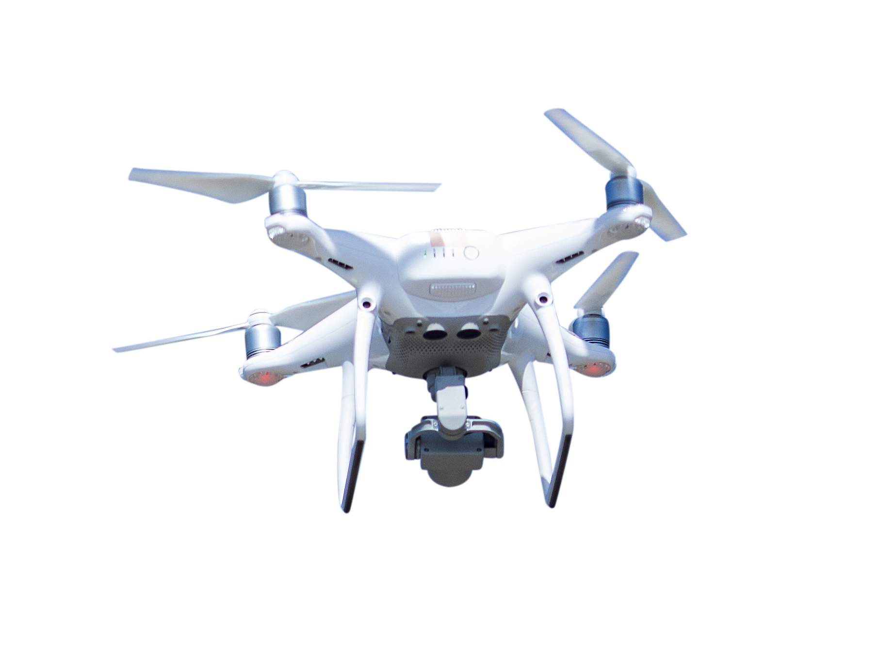
DRONE/UAV LiDAR MAPPING
AT BPC INDIA, we offer drone lidar survey and mapping that assures quick data collection, low-cost aerial lidar survey, and top-notch positional accuracy through secured drone operations.
AT BPC INDIA, we offer drone lidar survey and mapping that assures quick data collection, low-cost aerial lidar survey, and top-notch positional accuracy through secured drone operations.
Feasibility Study of NH Standard Roads
Slope Stability Analysis (70km Span)
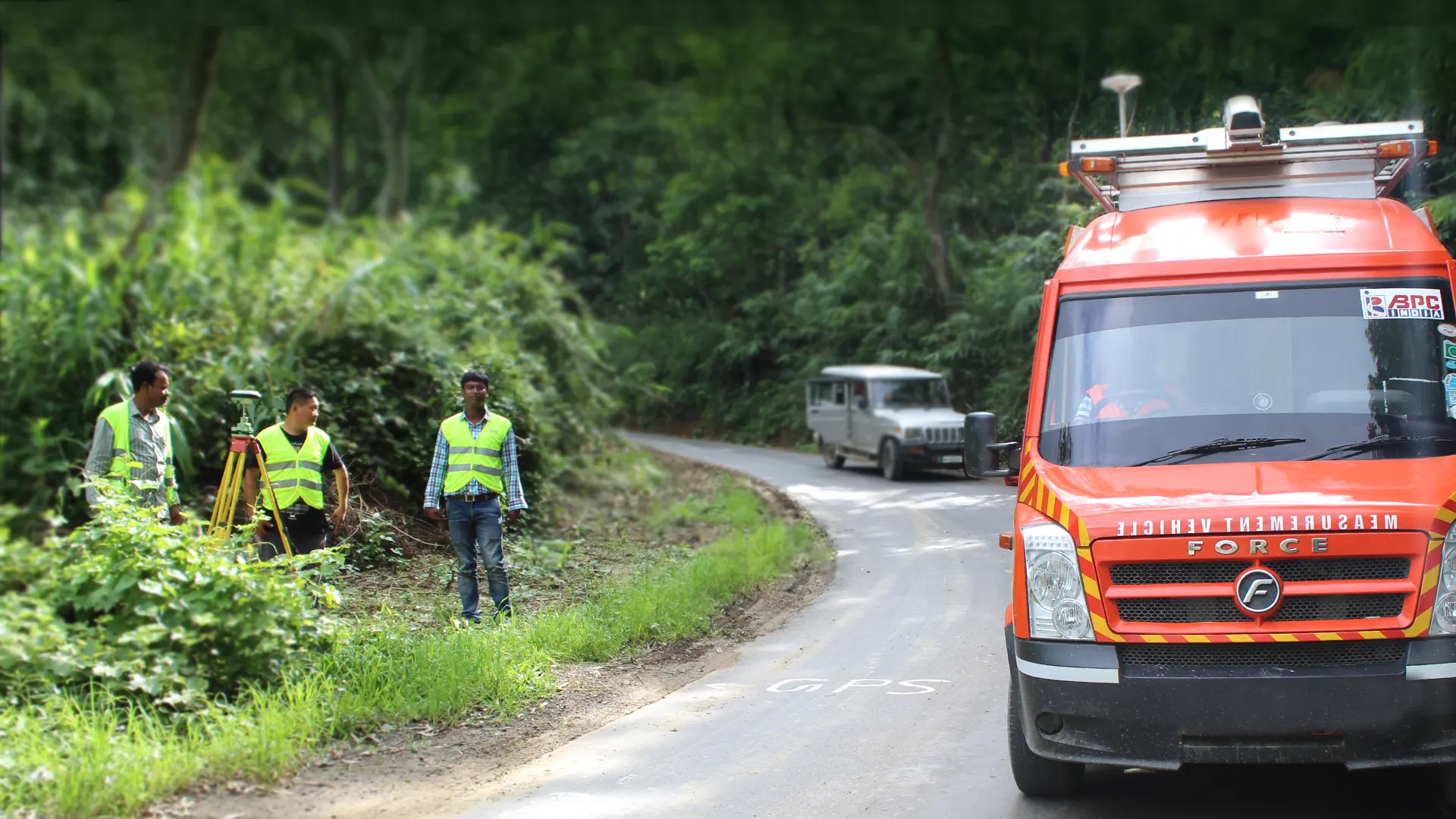
Final Location Survey of New BG Line.
Urban Development Projects
We are equipped with a powerful drone solution, which simplifies the workflow and streamlines the process of high-resolution aerial mapping within a fraction of time.
For surveyors and GIS professionals, our aerial mapping survey in India brings immense potential. Time and cost of data capturing will get reduced drastically with the use of your drone technology.
The biggest benefit is that UAV mapping drones can reach areas that are not easily accessible by humans. It can access hilly and remote regions easily and captures data accurately. It reduces the workload of the specialists working for site surveys.

Drone LiDAR and Ranging is a well-recognized technology for collecting and processing terrain data. The system assures cost-effective terrain data collection.
BPC INDIA offers top-notch survey solutions, best-in-class customer service, and custom drone program development. Our clients can customize the set of features and add inspection tools as well as integrate systems.


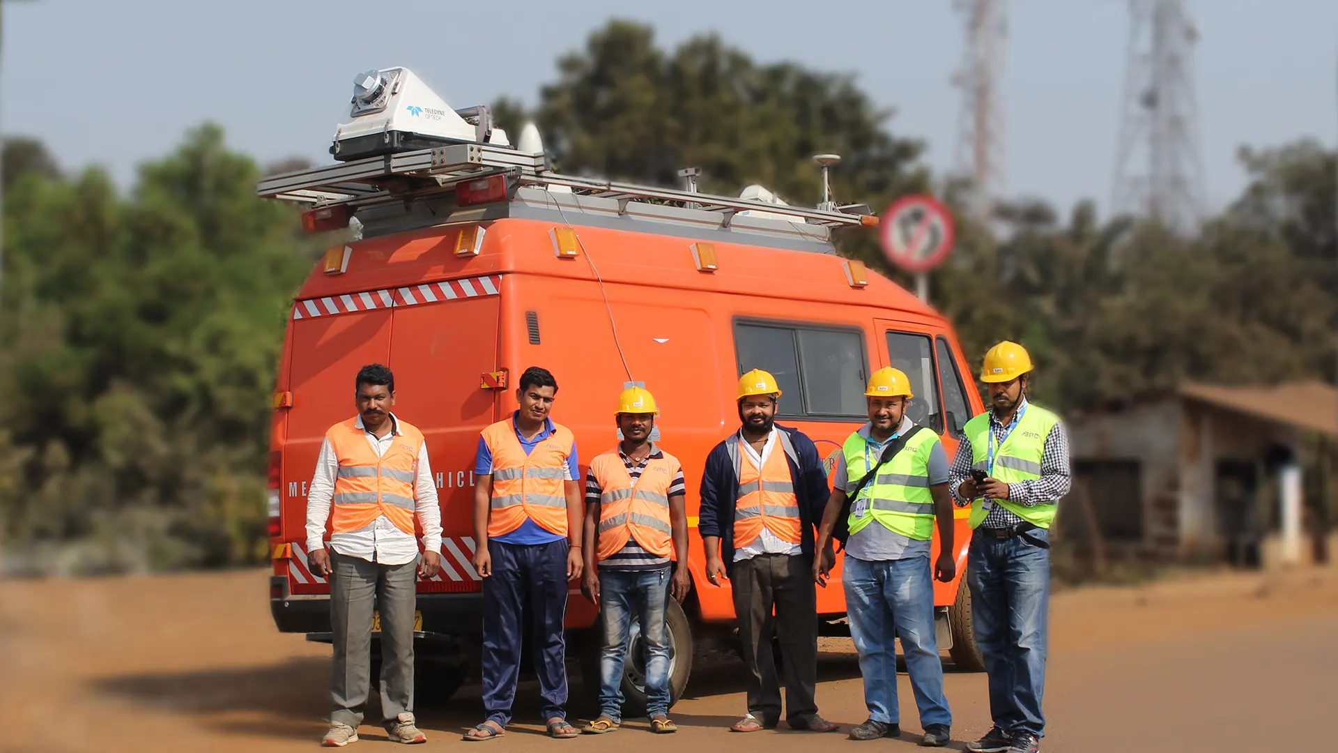
Madhya Pradesh
Explore Project
Jharkhand and Odisha
Explore Project