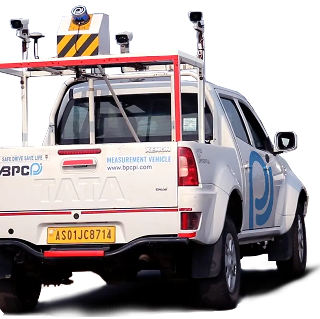
LASER SCANNING
We serve our client's digital three-dimensional models from the real world object or environmental data obtained from our in house 3D Laser Scanner.
We serve our client's digital three-dimensional models from the real world object or environmental data obtained from our in house 3D Laser Scanner.
Final Location Survey of New BG Line
Slope Stability Analysis (70km Span)
Feasibility Study of NH Standard Roads.
Urban Development Projects
3D laser scanning can be used efficiently for scanning proposed roads in hilly terrains which are normally inaccessible and can’t be surveyed with a total station due to high vegetation. As per project demand, we use 3D Laser scanner for constructing a digital three-dimensional model to provide the shape of 3D objects.
Laser scanner use may be either active or passive scanners. Active scanners emit light, ultrasound or X-ray and detect its reflection or radiation while passive scanners detect reflected ambient radiation.
LiDAR is an active optical remote sensing system emitting laser pulses, which are partially reflected by the ground. The distance between the sensor and the ground surface is measured by multiplying the velocity of the laser with the time elapsed between sending and receiving the laser pulse.
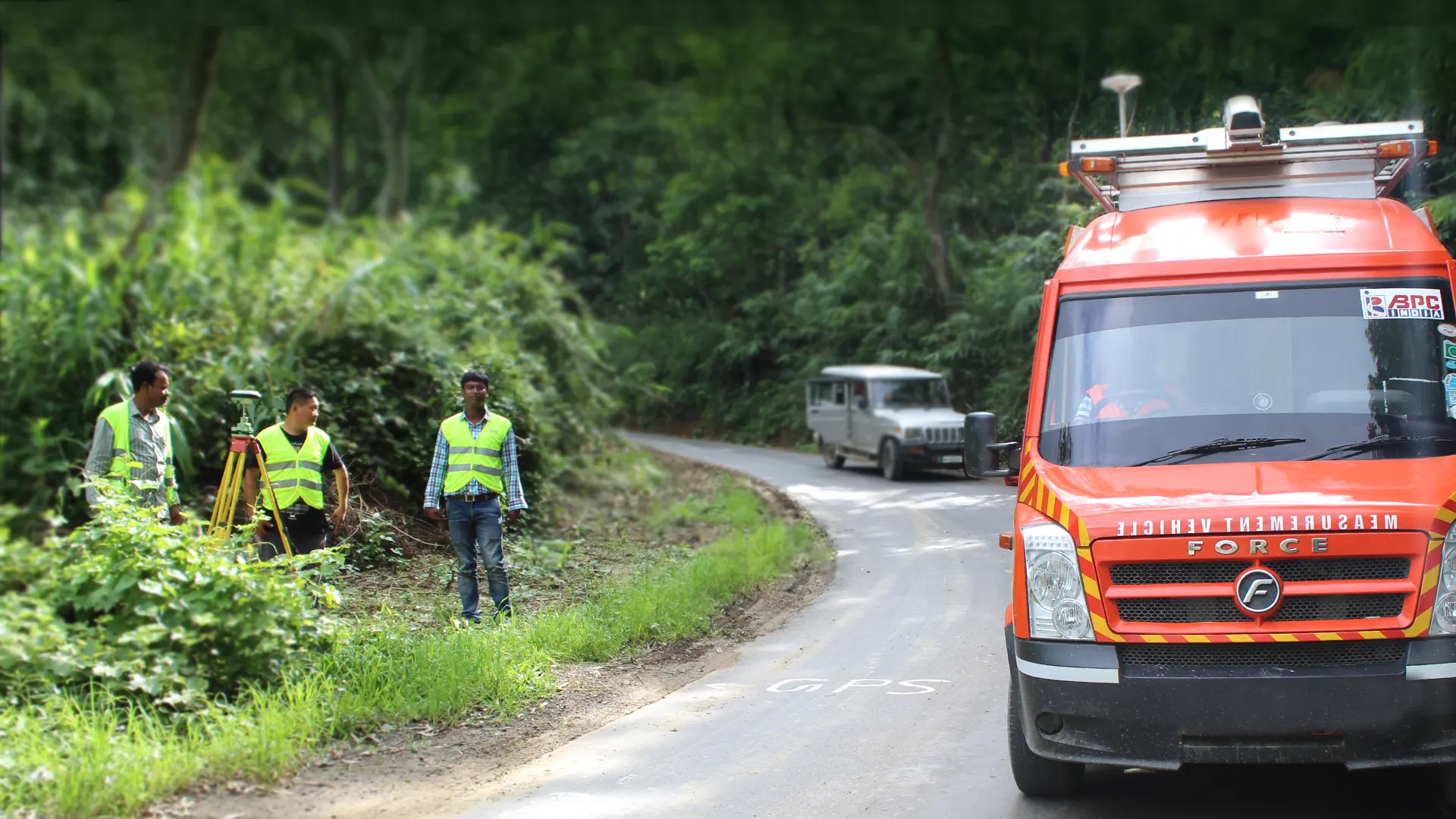
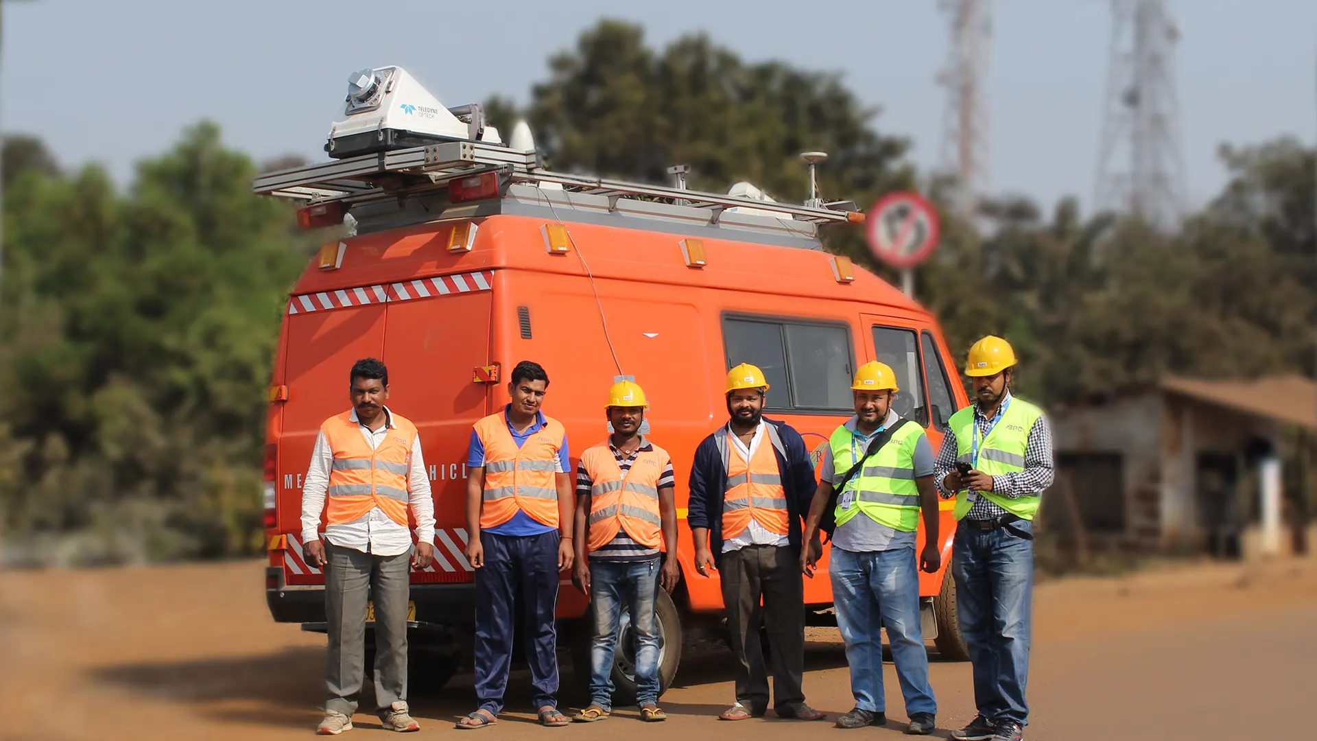
We have successfully accomplished our geotechnical engineering projects in different Indian states, including West Bengal, Assam, and Mizoram
Our geotechnical experts have carried our subsoil investigation, feasibility testing, ground analysis, and other technical inspection to ensure proper implementation of the project ideas.
Madhya Pradesh
Explore Project