7+1
Offices
100+
Happy Clients
200+
Inhouse Staff
Big ideas, independent minds, deep technical expertise.
Know MoreWe believe the accurate Field Investigation and survey, its Quality control, Interpretation.
Services
Services
Services
Services
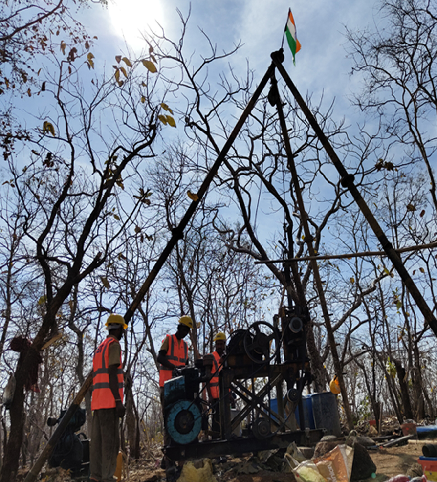
We believe the accurate Field Investigation and survey, its Quality control, Interpretation, and Analysis forms the basis of any efficient Engineering decision, thereby resulting in cost-effective and sustainable developments.
Railways Projects
Railways Projects
PROJECTS
Railways Projects
Railways Projects
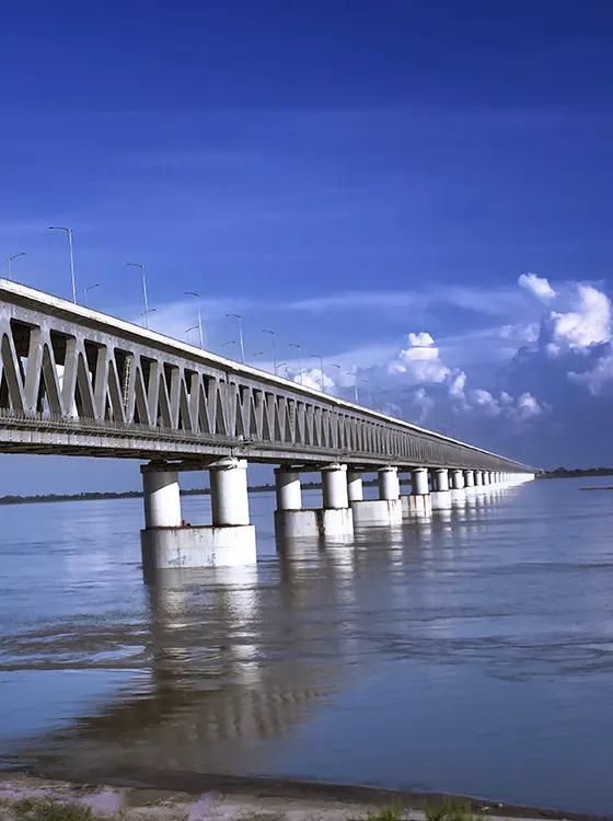
Design 19.3 km. of longest bridge over Brahmaputra
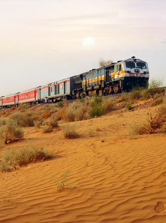
753 km. railway engineering design work at Rajasthan
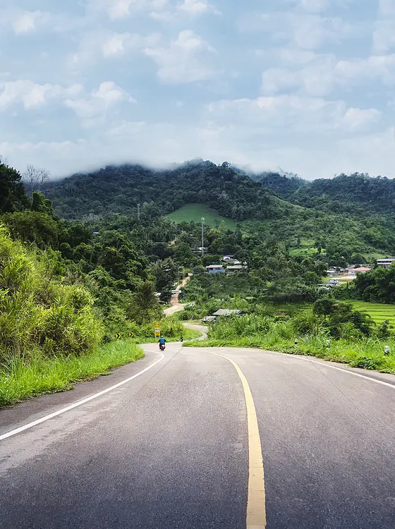
312 km. of NH54 design through hilly terrain at Mizoram

9000 km. of road inventory, condition assessment strength including the pavement failure and deflection
Our Geospatial vertical is dedicated to helping you harness the power of location-based data to optimize your projects
Our Geospatial vertical is dedicated to helping you harness the power of location-based data to optimize your projects
Our Geospatial vertical is dedicated to helping you harness the power of location-based data to optimize your projects
Our Geospatial vertical is dedicated to helping you harness the power of location-based data to optimize your projects
Our Geospatial vertical is dedicated to helping you harness the power of location-based data to optimize your projects
Big ideas, independent minds, deep technical expertise.
Know More